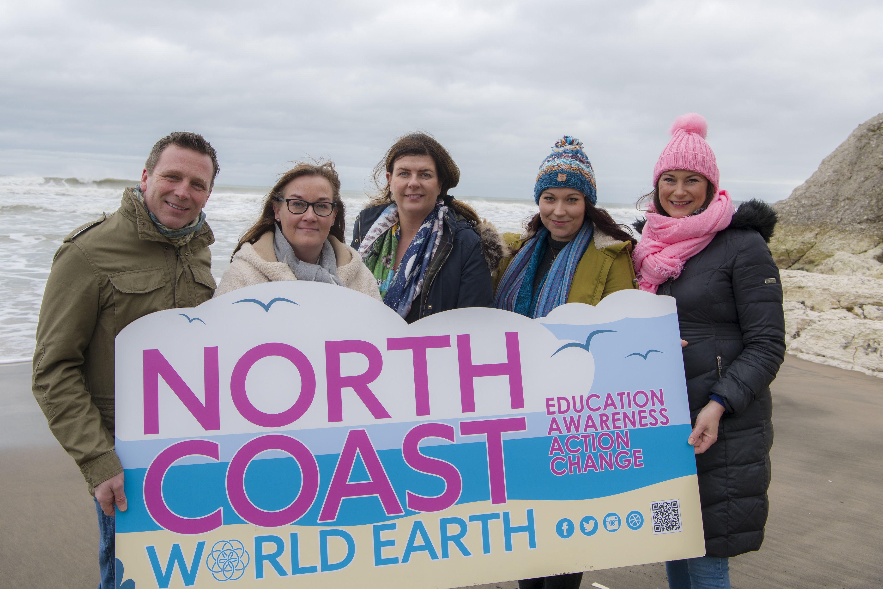
- North Coast World Earth is an environmental awareness and action group in Northern Ireland
- Esri’s digital mapping system enables the group to record more accurate data around litter collected and reduce administrative burden
- The rapidly growing group of volunteers has collected 3 tonnes of litter using the system
- The platform drives collaboration and engagement with communities, schools, and local government
Esri Ireland, the market leader in Geographic Information Systems (GIS), is today announcing that its digital mapping platform, ArcGIS, is revolutionising litter collection for environmental action group, North Coast World Earth. Using Esri’s software, the group has collected and recorded 3 tonnes of litter on the Northern Irish coast, enabling it to address the wider impact of environmental pollution in the area and campaign successfully for change.
Through Esri’s ArcGIS Survey 123 mobile app, the rapidly growing volunteer group can record information about litter hot spots, volumes of litter that could potentially be recycled, locations where bins are full or unusable, instances of fly tipping and the impact of litter pollution in Protected Areas.
This digital solution from Esri also drives engagement with communities, as local groups have access to personalised online dashboards where they can track their progress, see their contribution, and celebrate their achievements. The dashboards are particularly valuable in schools and support education by giving pupils involved a better understanding of their own contribution to reducing pollution. North Coast World Earth volunteers use the information collected to campaign more effectively with councils, elected councillors and members of the legislative assembly (MLAs), to lobby for action to help prevent littering.
The group’s interactive website, powered by ArcGIS, provides clear and verifiable evidence of pollution for North Coast World Earth, its volunteers, and members of the public. The volume and locations of litter collected are visible in near real-time on the website’s interactive digital map. This hub highlights areas that are not yet patrolled, encouraging more families, businesses, community and school groups to get involved in their localities.
This digital approach to gathering data across an area of 2,000 km2 in the Causeway Coast and Glens areas has decreased the manual administrative burden on the group’s committee and improved data accuracy. Data no longer needs to be collated manually from emails, spreadsheets and social media, which significantly reduces administrative overheads and allows for a more sustainable means of data collection as the action group grows.
Gavin Wallace, Chairperson, North Coast World Earth: “ArcGIS is a tool that we can use to influence the change that we all desperately want to see. We are not simply a litter picking group, we want to combine short-term fixes with long-term solutions. It is important that we identify and quantify the extent of the issue with verified data.
“The beauty of our ArcGIS Maps and Dashboards is that it provides evidence of the types, volumes and locations of the litter collected by our members. There are no limits to the amount of data that members can put into ArcGIS; it’s just phenomenal. In the months and years ahead, the ArcGIS platform will provide key data that will help raise further awareness about the issues that face our environment.”
Jamie Wallace, Customer Success Manager, Esri Ireland: “We are delighted to partner with North Coast World Earth and deploy ArcGIS to enable the group to take action and reduce pollution in the environment. The ArcGIS Survey123 mobile app, Dashboards and interactive online Hub have not only improved the quality and quantity of data collection but also given the group a new way to connect with their communities and raise awareness around the scale of the problem.
“North Coast World Earth is doing invaluable work in the Causeway Coast and Glens area of Northern Ireland. Esri Ireland is proud to support this work and provide a sustainable platform which will enable the group to continue to grow and tackle the important issue of litter pollution.”